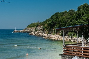
Sinemorets: Silistar Beach
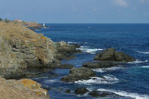
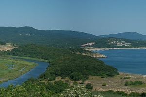
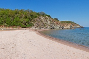
Silistar Beach is the southernmost big beach on the Bulgarian Black Sea coast. The hospitable sheltered bay, the wild forest behind the beach, the lack of buildings together with the incredibly clear waters, the elongated rocky capes at both ends make it a favourite beach for the many vacationers who chosen the local area as a holiday destination.
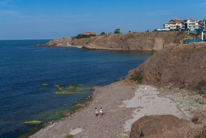
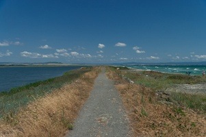
The beach is attractive to both adventurers and vacationers seeking solitude, as there are two completely wild beaches nearby that one can reach along а coastal eco-path. Those are the beaches “Lipite” and “Listi”.
Silistar Beach lays between the resort settlements of Sinemorets (6 km) and Rezovo (7 km) and from the regional city Burgas is 88 km south. Can reach the beach by car, there is also parking in the woods.
Read more… “Sinemorets: Silistar Beach”